
V&A Waterfront - Where Cape Town’s Maritime Past Meets the Present

There are few places in Cape Town where the city’s past and present collide quite as dramatically as the V&A Waterfront. With Table Mountain rising behind me, ships moving across the harbor, restaurants spilling onto the quays, and tourists wandering between shops and historic buildings, it would have been easy to see the Waterfront simply as a lively tourist district. But beneath the polished surfaces is a much older story—a story of sailors, merchants, empire, migration, industry, apartheid, and a city whose existence has always been inseparable from the sea.

The story of this waterfront began long before the shopping malls and restaurants. When European ships began using the Cape as a stopping point on voyages between Europe and Asia, the natural harbor became strategically important. The Dutch established Cape Town in 1652 as a refreshment station for the Dutch East India Company, providing ships with fresh water, food, and supplies on their long journeys around the southern tip of Africa. The settlement grew, and the harbor became increasingly central to the development of the city.

For more than a century, the waterfront remained a working maritime environment shaped primarily by the Dutch. Then, in the nineteenth century, British influence transformed Cape Town once again. The arrival of Prince Alfred, Queen Victoria’s second son, in 1860 became an important moment in the harbor’s history. Alfred ceremonially turned the first sod for what became the Alfred Basin, named after him. A second basin, the Victoria Basin, was subsequently developed and eventually gave the modern Waterfront its name: the Victoria & Alfred Waterfront.
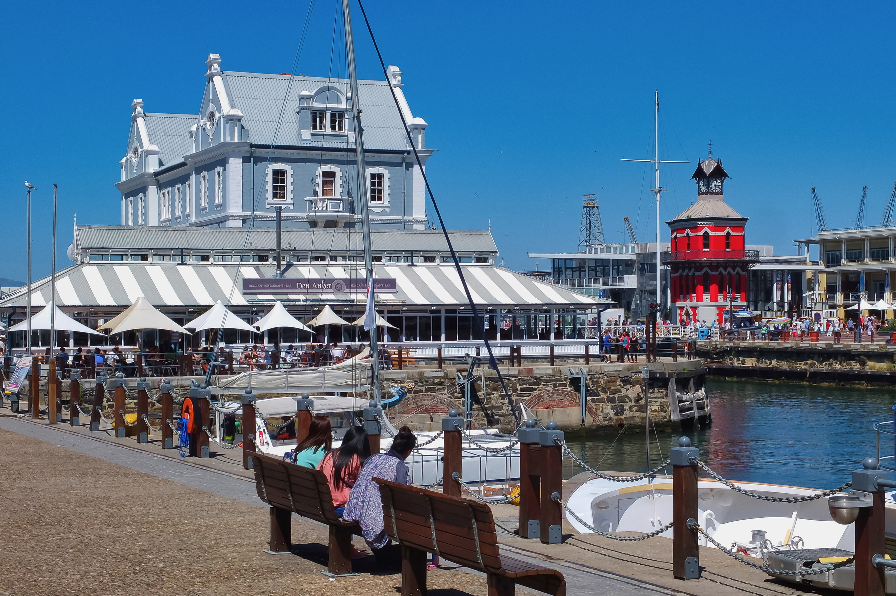
Walking along the quays today, I found it fascinating to imagine what this place must have looked like during the Victorian era. Instead of cafés and boutiques, there were warehouses, sailors, dockworkers, cargo, cranes, and ships arriving from distant ports. Goods moving through Cape Town connected the city to an enormous international network. The harbor wasn’t simply a backdrop to Cape Town—it was one of the reasons the city mattered.

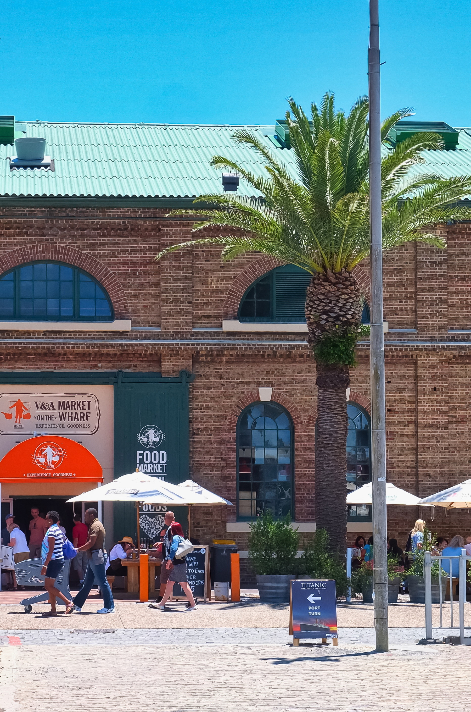
Some of those old industrial structures have survived, and they give the Waterfront much of its character. Red-brick buildings, old warehouses, cranes, docks, and maritime equipment stand alongside contemporary architecture. Rather than erasing the working port, the modern Waterfront incorporated many elements of it into its redevelopment. The result is an unusual place where you can sit down for coffee beside a structure that once served an entirely different purpose.
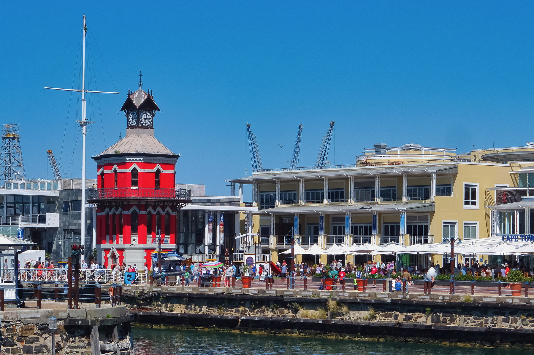
One of the most recognizable landmarks is the Clock Tower, completed in 1882. Its Victorian Gothic design makes it look almost theatrical against the modern waterfront, but it once served a very practical purpose. The building housed offices associated with the harbor and included a tide gauge, while the clock itself became an important landmark for people working around the docks. Today it is one of the most photographed pieces of the Waterfront’s historic architecture.

Not far away, another layer of history lies beneath the modern city. The Chavonnes Battery was constructed by the Dutch East India Company beginning in 1714 as part of Cape Town’s coastal defenses. Much of the original fortification disappeared beneath later development, but archaeological remains have survived. Visiting the site offers a glimpse of a much older Cape Town, when the settlement was a strategic colonial outpost and the harbor needed protection from potential enemies.

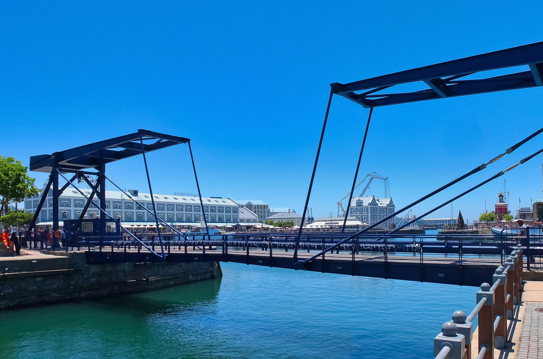
The Waterfront’s maritime story also includes the technology that made a busy nineteenth- and twentieth-century port possible. The Robinson Dry Dock, opened in 1882, was built to allow ships to be repaired and maintained in Cape Town. It remains part of the historic harbor landscape, and nearby structures such as the old swing bridge provide reminders of the engineering infrastructure that once kept the port operating. These aren’t merely decorative remnants. They represent the enormous amount of work required to maintain an international harbour before modern technology transformed the industry.
But there is another history here that cannot be overlooked. Cape Town’s harbor existed within the broader history of colonialism, slavery, segregation, and apartheid. The prosperity generated by the port was never experienced equally by everyone. Workers, migrants, and communities were drawn into the city’s economic life while discriminatory laws shaped where people could live, work, and travel. The Waterfront’s polished modern appearance can therefore conceal a much more complicated past—one that belongs to the entire city, not just its successful commercial present.

That history becomes especially tangible at the departure point for Robben Island. From the Waterfront, ferries carry visitors across Table Bay to the island where Nelson Mandela and many other political prisoners were incarcerated during apartheid. Standing beside the harbor before a journey to Robben Island, the geography itself becomes meaningful. The island is visible from Cape Town, yet its physical separation across the water once represented an enormous barrier between imprisonment and freedom.

Today, the Waterfront is also one of the city’s great gathering places. People come here to eat seafood, browse markets, listen to music, watch street performers, take boat trips, or simply sit beside the water with Table Mountain rising behind them. The contrast is remarkable. A place once dominated by cargo and industry has become somewhere people come to relax and enjoy themselves, yet the old harbor infrastructure remains embedded in the landscape.

I particularly enjoyed the way the Waterfront encourages you to wander without necessarily having a destination. One moment I could be looking at fishing boats; the next I would find myself beside an old warehouse or watching a seal moving through the harbor. Then the modern city would reassert itself with restaurants, galleries, designer stores, and the constant movement of visitors. It felt less like a traditional historic district and more like a city continually negotiating with its own past.
The connection with the ocean is impossible to escape. Cape Town’s geography has always determined its history, and the Waterfront makes that relationship visible. Ships still enter and leave the harbor, while ferries cross the bay and smaller boats move between the docks. Even surrounded by modern development, the Waterfront remains fundamentally a maritime landscape.

And then there is Table Mountain. From almost everywhere along the Waterfront, the mountain rises dramatically behind the city. It creates a backdrop so spectacular that it almost seems artificial. I found myself repeatedly stopping to look at it, especially as the afternoon light changed and the mountain began to take on different shades. It was a reminder that the Waterfront isn’t just an attraction built beside the sea—it is part of one of the world’s great natural urban settings.

One of the more unexpected aspects of the area is how much history exists beneath the surface as well. The waters around Cape Town contain the remains of numerous shipwrecks, evidence of the dangers faced by vessels navigating the notoriously challenging coastline. The Cape has long been associated with maritime disasters, and the ocean surrounding the city holds a hidden archaeological record of centuries of shipping. The harbor that once offered protection was only a small part of a coastline that could be unforgiving.
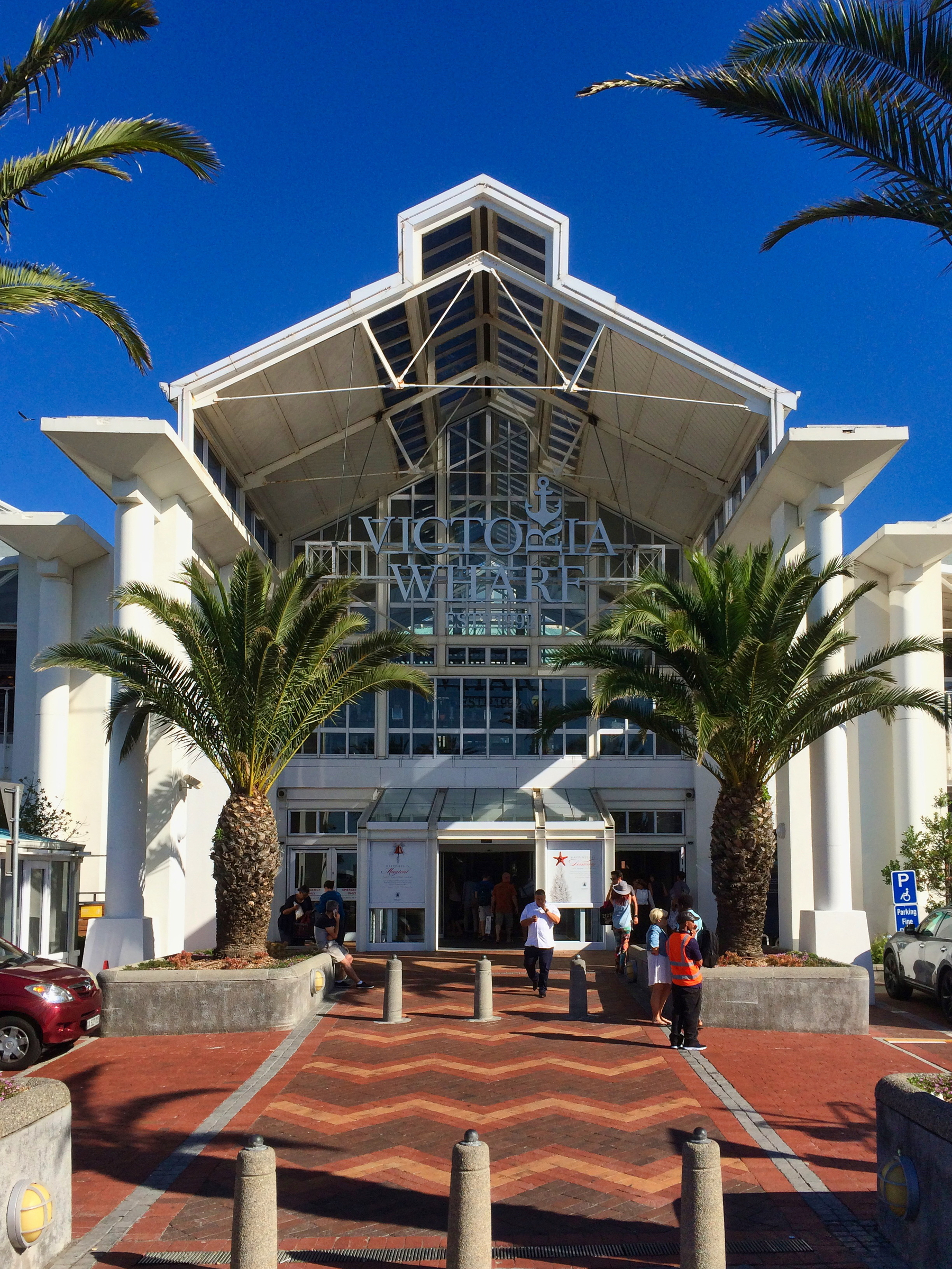
By evening, the character of the Waterfront changed completely. The sunlight faded from Table Mountain, lights appeared along the quays, and reflections began moving across the dark water. Restaurants filled with people, ferries returned from the bay, and the historic buildings took on a warmer glow. I found a place beside the harbor and simply watched the activity around me. It was difficult not to think about how many generations had stood somewhere nearby watching ships arrive.
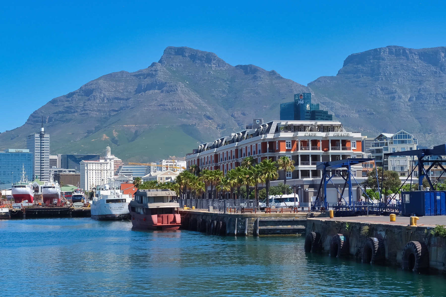
What makes the V&A Waterfront fascinating to me isn’t that it perfectly preserves the past. It doesn’t. It has been transformed almost beyond recognition from the working harbor of the nineteenth century. What it does instead is allow fragments of that past to survive within a completely modern environment. A clock tower stands beside luxury shops. An old dry dock sits near restaurants. Archaeological remains exist beneath contemporary buildings. Ferries leave for Robben Island while visitors take photographs beside the water.

That mixture is ultimately what makes the Waterfront such an interesting introduction to Cape Town. It isn’t just a place to shop, eat, or admire the view. It is a living record of how the city has changed—from a Dutch colonial outpost to a British imperial port, from an industrial harbor to a modern tourist destination, and from a place shaped by profound inequality toward a city still working through the legacy of its past.
As I finally walked away from the water, I looked back toward the harbor one last time. The lights were reflected in the bay, Table Mountain stood dark against the evening sky, and the old buildings seemed to disappear into the modern city around them. The V&A Waterfront had started to feel less like a tourist attraction and more like a chapter in Cape Town’s enormous story. Here, the past hasn’t vanished. It is simply sharing the waterfront with the present.
Walking Through the Neighborhood That Changed America, Haight-Ashbury

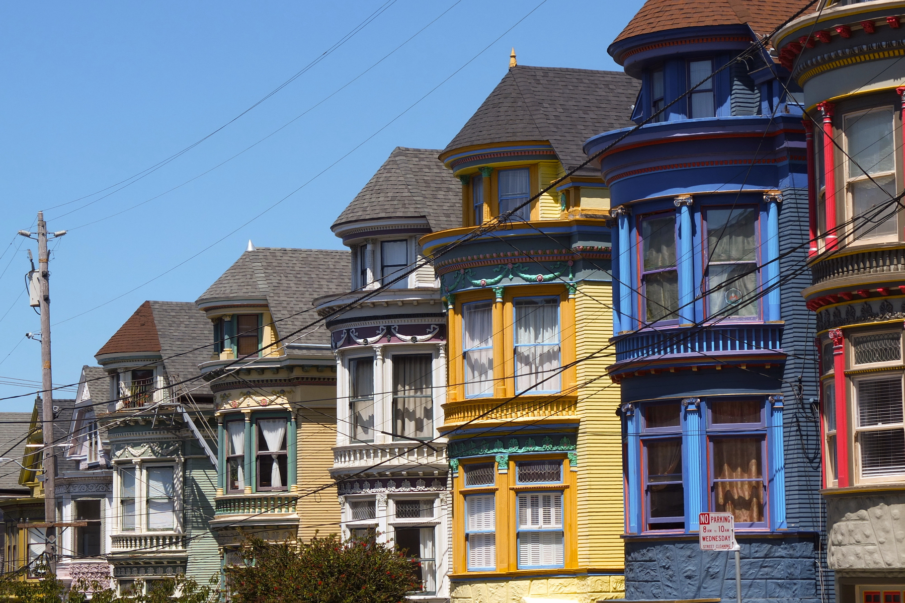
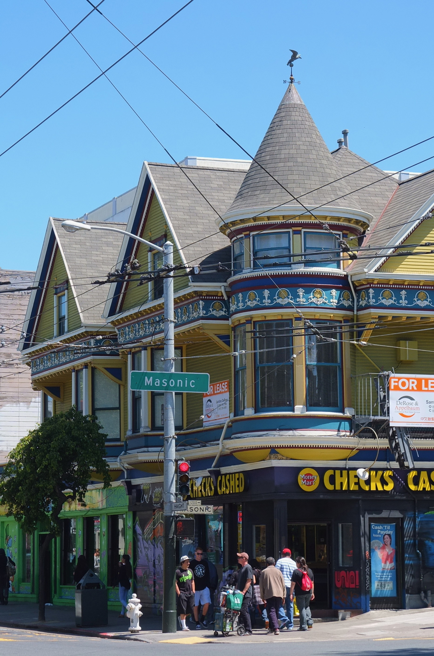
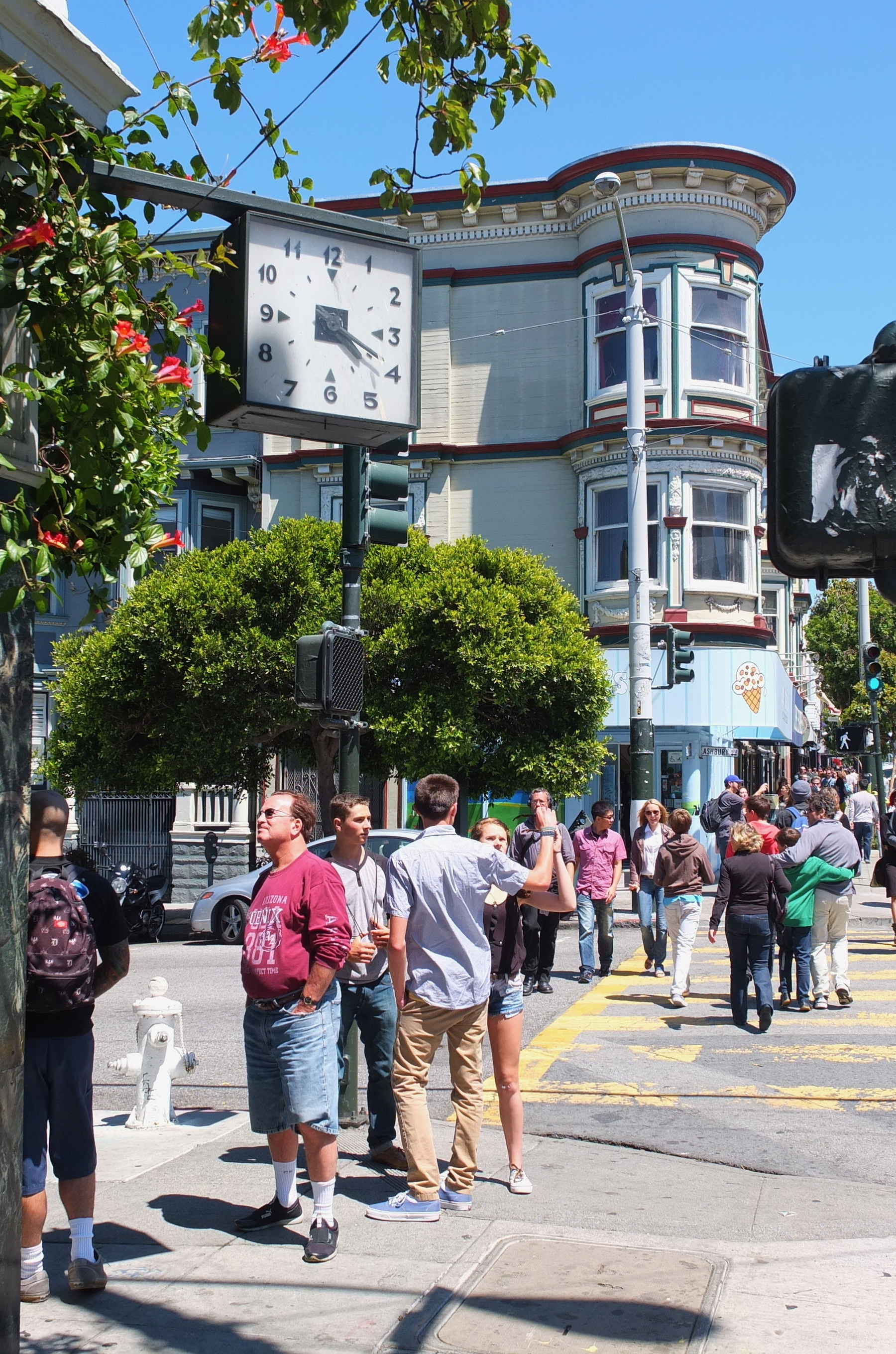
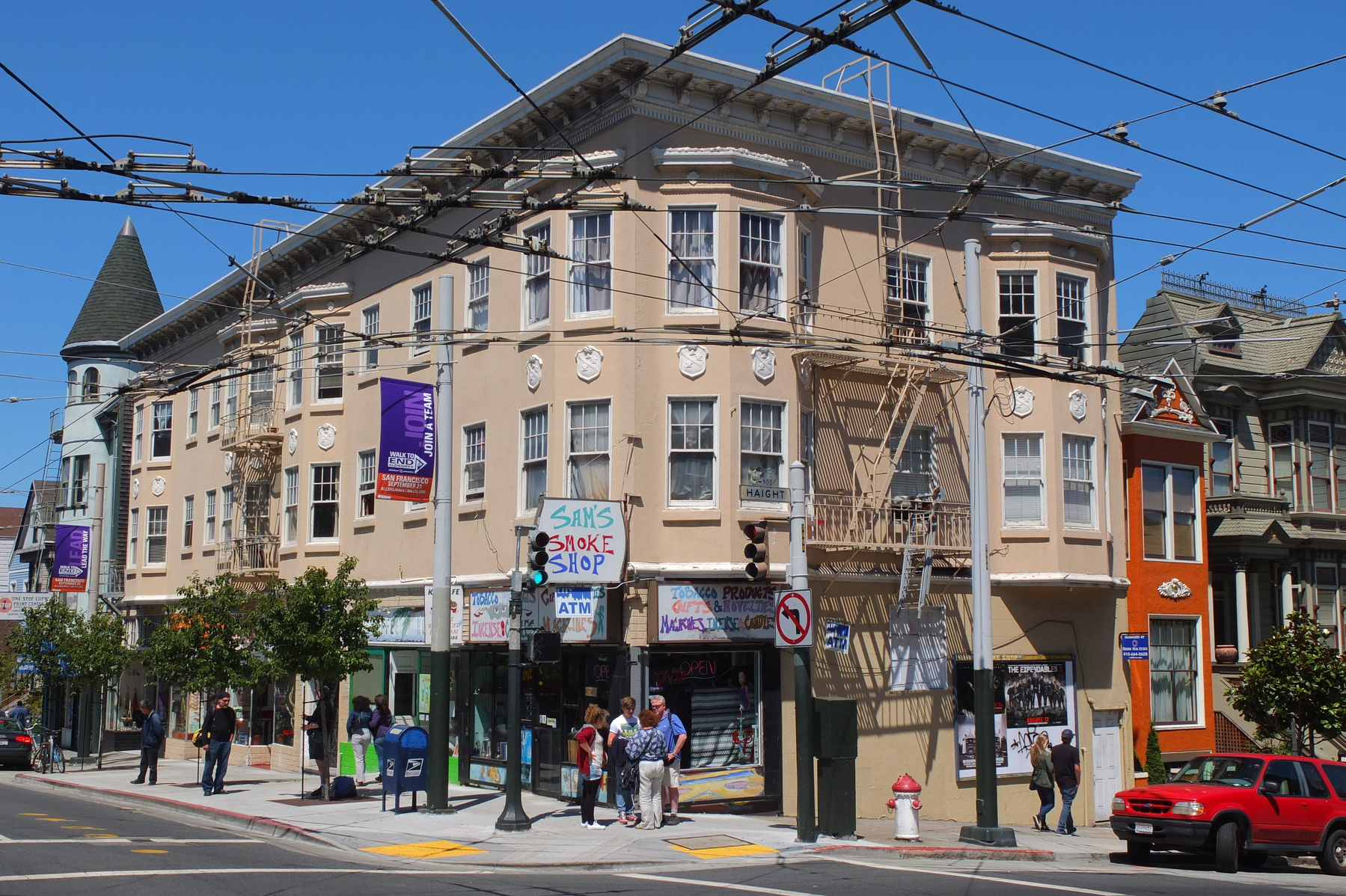
There are neighborhoods you visit, and then there are neighborhoods that seem to remember you. Walking into Haight-Ashbury in San Francisco, I had the strange sensation that I wasn’t simply entering another part of the city—I was stepping into a story that had already been written long before I arrived. The painted storefronts, vintage clothing shops, cafés, record stores, colourful murals, and weathered Victorian houses created an atmosphere that felt simultaneously contemporary and frozen in another era. Everywhere I looked, there were reminders that this relatively small intersection had once become one of the most famous addresses in American cultural history.


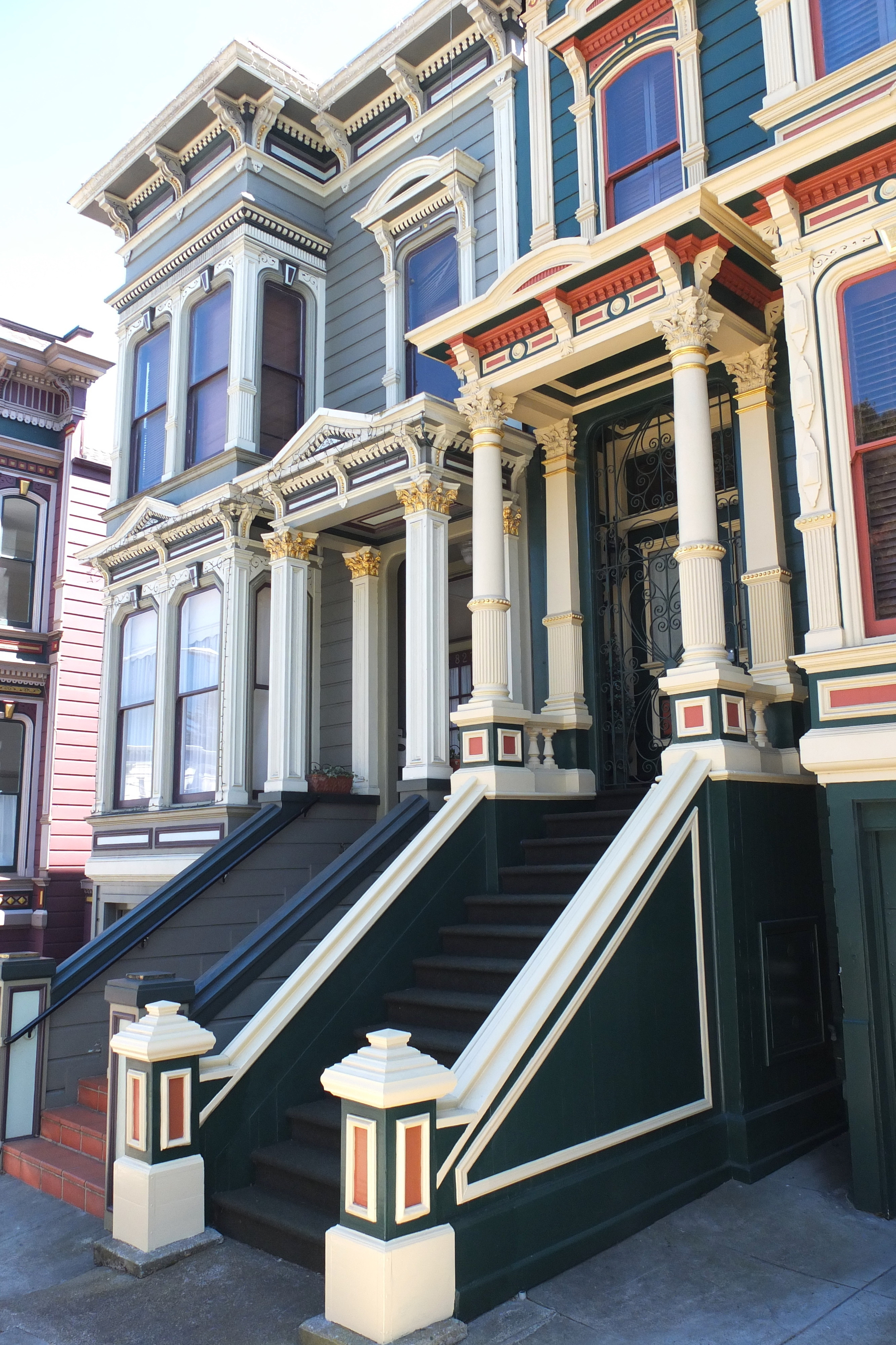
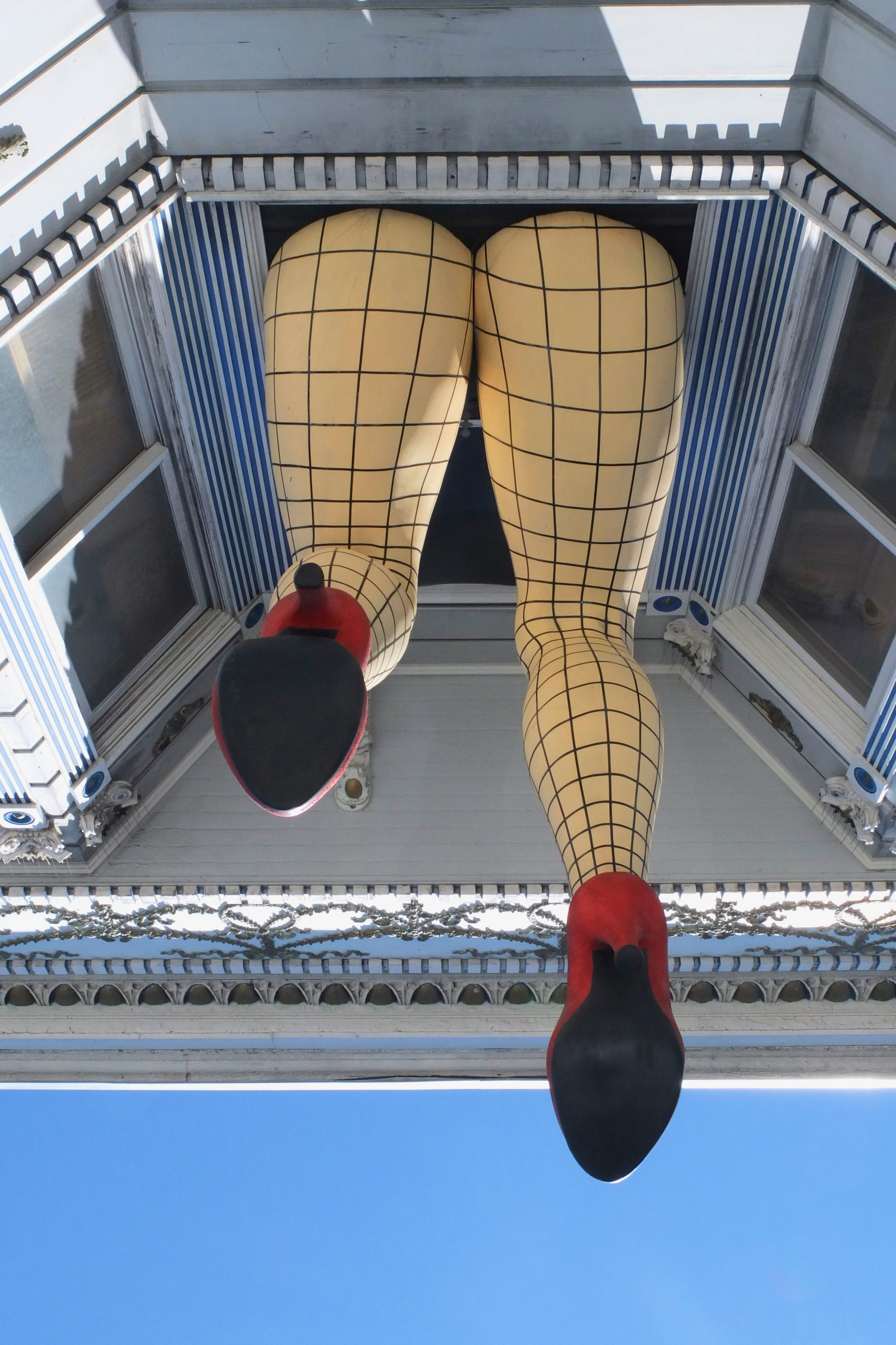
The story of Haight-Ashbury, however, begins long before hippies, psychedelic music, and flower power. The neighborhood takes its name from two men: Henry Haight, a nineteenth-century San Francisco businessman and politician, and Munroe Ashbury, another prominent local figure who served on San Francisco’s Board of Supervisors. In the late nineteenth century, the area was developing on the western edge of the growing city, far removed from the crowded downtown streets. Victorian homes began appearing as San Francisco expanded, many of them remarkably elaborate residences built during the city’s great period of growth.


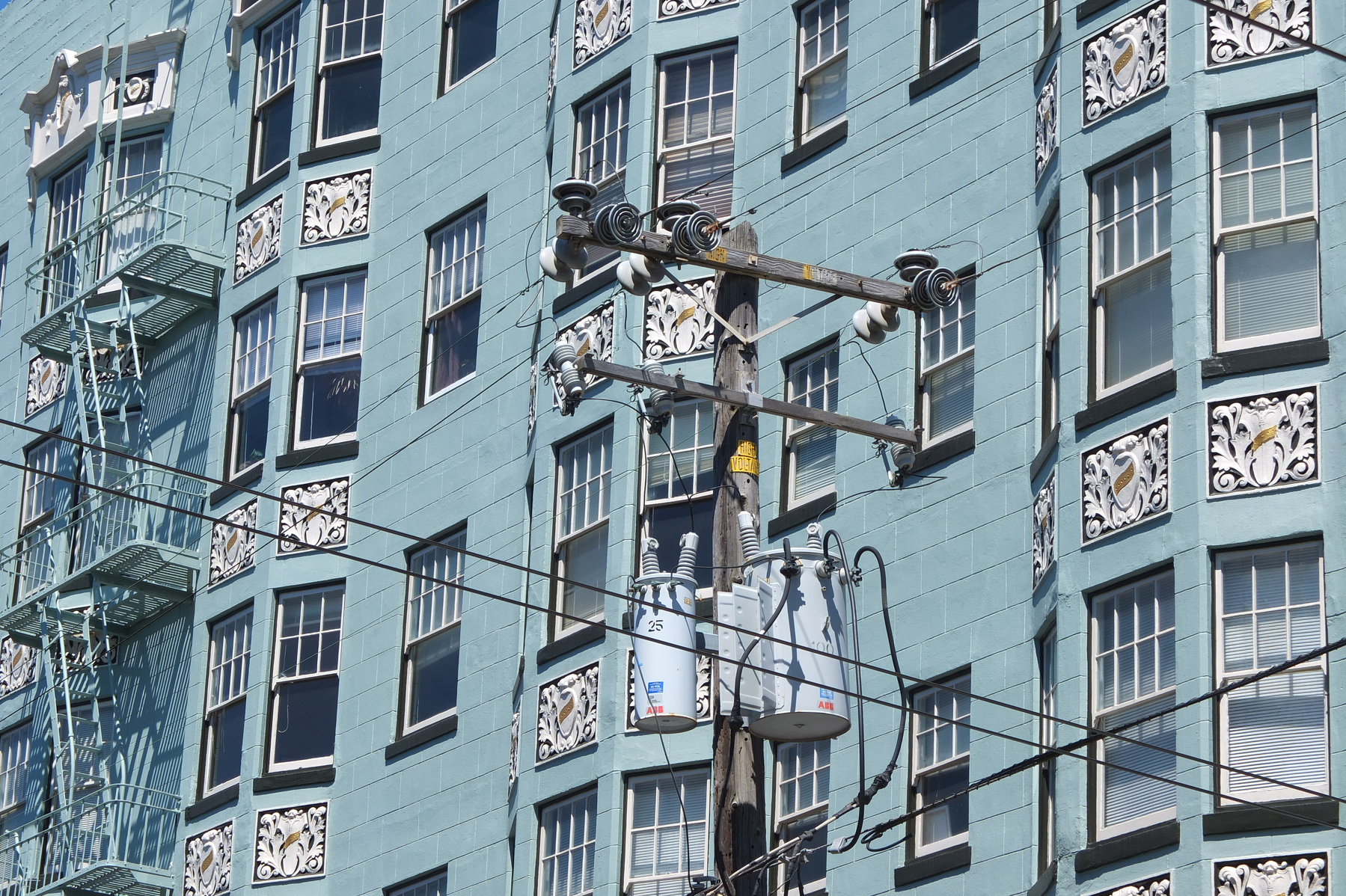
The neighborhood’s physical character was also shaped by the 1906 San Francisco earthquake and fire. While large portions of the city were devastated, Haight-Ashbury survived with much of its residential architecture intact. Those Victorian houses would later become an important part of the neighborhood’s identity. Long before they became associated with hippies, they were simply homes in a rapidly expanding San Francisco. Walking past them today, I found it fascinating to think about how dramatically the meaning of the same streets could change over the course of a single century.

By the middle of the twentieth century, San Francisco had developed into a magnet for artists, writers, musicians, and people searching for alternatives to conventional American life. The nearby North Beach district had already become associated with the Beat Generation, attracting writers such as Allen Ginsberg and Jack Kerouac. The Beats questioned conventional ideas about literature, sexuality, consumer culture, and authority. Their influence helped create an intellectual and artistic environment in which the counterculture that followed could flourish. Haight-Ashbury didn’t appear out of nowhere in 1967. It inherited a rebellious spirit that had been developing across San Francisco for years. Then the music began to change everything.

By the mid-1960s, Haight-Ashbury was attracting a remarkable collection of musicians. The Grateful Dead established themselves in the neighbourhood, while Jefferson Airplane became one of San Francisco’s defining psychedelic rock bands. Janis Joplin lived in the area while performing with Big Brother and the Holding Company, and Jimi Hendrix also became part of the broader San Francisco counterculture scene. Nearby venues such as the Fillmore and Avalon Ballroom became legendary stages, helping transform San Francisco into one of the world’s most important centres of psychedelic rock. Walking down Haight Street, I tried to imagine what it must have sounded like in 1966 and 1967. Music pouring from clubs. Posters covering walls. People arriving from across the country with guitars, backpacks, flowers, and ideas about changing the world. The neighborhood’s population was becoming younger, more experimental, and increasingly suspicious of the conventions of mainstream America. What had once been an ordinary residential district was becoming a cultural laboratory. Then came 1967—the year that would permanently attach Haight-Ashbury to the phrase Summer of Love.
The Human Be-In at Golden Gate Park in January 1967 helped announce what was coming. Tens of thousands gathered at the event, which combined music, poetry, political activism, spirituality, and countercultural ideas. It was an extraordinary expression of the emerging movement and helped turn San Francisco into a national focus of attention. By spring and summer, young people were arriving in enormous numbers, many heading directly for Haight-Ashbury.

The Summer of Love was about much more than flowers and psychedelic music. People talked about communal living, peace, civil rights, environmentalism, alternative spirituality, free expression, and rejecting the increasingly consumer-driven culture of postwar America. LSD and other psychedelic drugs were also closely associated with the movement, and figures such as Timothy Leary became famous for promoting psychedelic experiences. For many participants, these substances were not simply recreational. They were presented as tools for exploring consciousness, although their widespread use also brought serious risks and consequences.

One of the most fascinating groups from this period was the Diggers. Rather than simply protesting the existing system, they attempted to create an alternative to it. They organized free food, clothing, and other forms of community support, challenging the idea that everything in society needed to be bought and sold. Their performances and street theater blurred the boundaries between politics, art, and everyday life. The Diggers’ philosophy was radical precisely because they tried to live their ideals rather than merely talk about them.


The neighborhood also developed its own medical response to the enormous influx of young people. The Haight-Ashbury Free Clinic opened in 1967, providing healthcare to people who otherwise had little access to medical services. Its creation reflected a central contradiction of the Summer of Love: an idealistic movement advocating freedom and community was suddenly confronted with thousands of people living in difficult circumstances, many without money, housing, or adequate medical care. And the reality was becoming increasingly complicated.
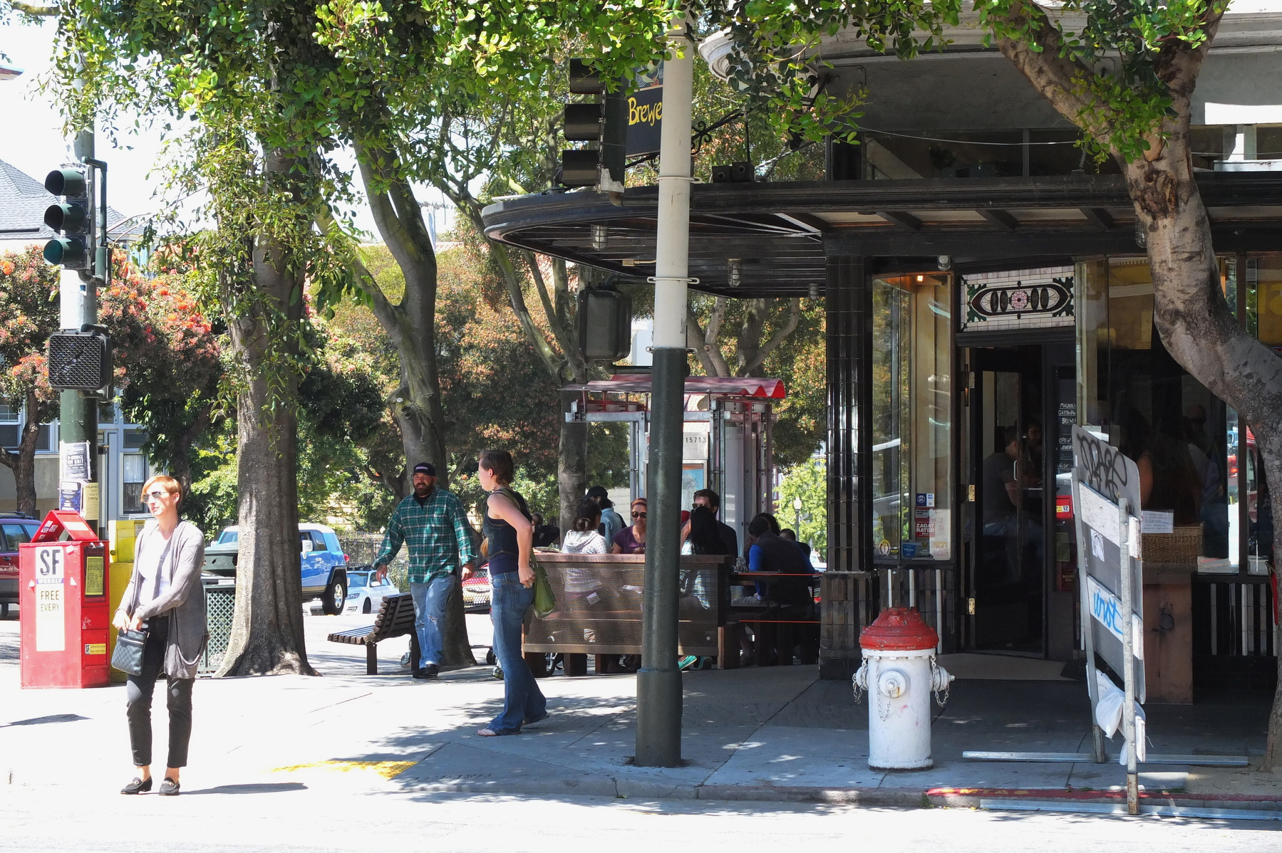

The enormous publicity surrounding Haight-Ashbury attracted far more people than the neighborhood could comfortably accommodate. Housing became crowded, poverty increased, and drug use brought serious problems. Some newcomers arrived expecting to find a peaceful utopian community and instead encountered homelessness, exploitation, crime, and addiction. Local residents and authorities struggled to cope with the sudden transformation. By the end of 1967, many of the people who had helped create the Summer of Love had already begun leaving.


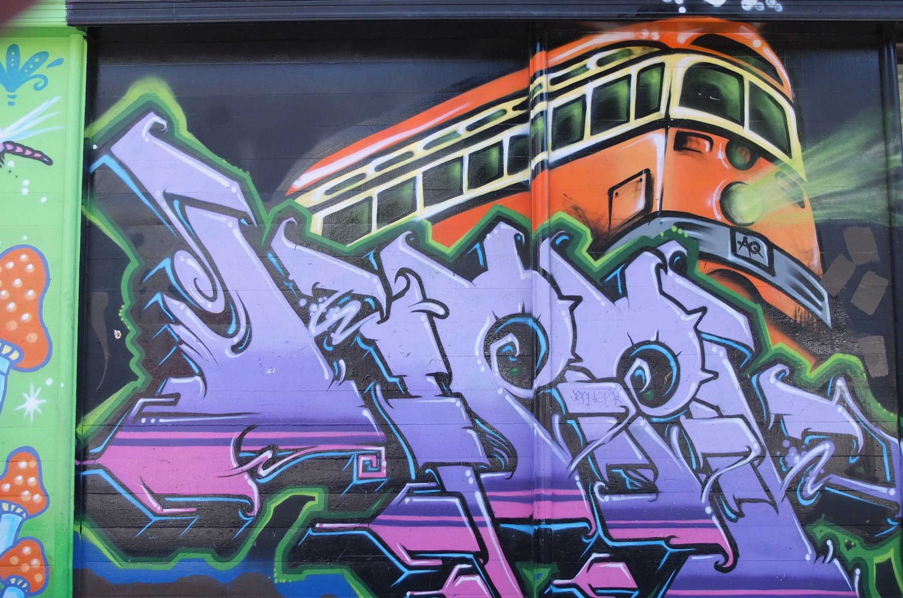
In October 1967, activists staged the famous Death of the Hippie ceremony in Haight-Ashbury. Rather than celebrating the end of the counterculture, the event was intended as a symbolic rejection of the media’s commercialization of the movement. The idea was that the “hippie” had become a caricature created by newspapers and television, while the deeper ideas of community and social change continued elsewhere. It was an appropriately theatrical ending to one of the most theatrical chapters in American cultural history.


Yet Haight-Ashbury never completely lost its identity. Over subsequent decades, the neighborhood changed dramatically, as San Francisco itself became increasingly expensive and commercially transformed. The Victorian houses remained, however, as did the famous intersection, the vintage stores, music references, and unmistakable countercultural mythology. Today, tourists arrive looking for traces of the 1960s, while longtime residents continue to experience the neighborhood as a living community rather than an open-air museum.
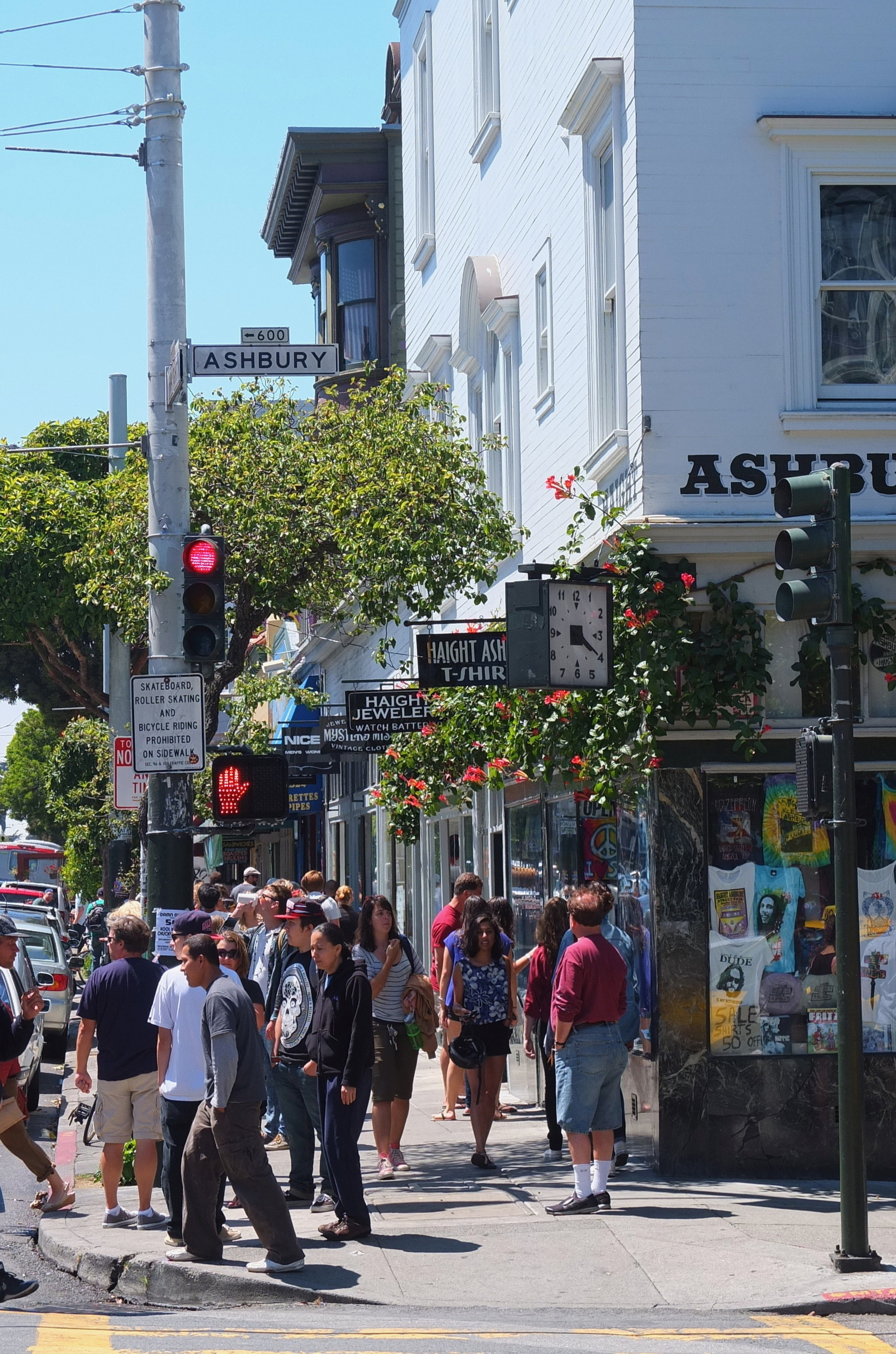

One place that still evokes the era is Hippie Hill, in nearby Golden Gate Park. The name itself tells you what kind of history surrounds the area. For decades, people have gathered there to play music, socialize, drum, relax, and simply enjoy the park. Standing among the trees, it is easy to understand why Golden Gate Park became such an important escape from the density of the city. The park provided the counterculture with something the streets couldn’t always offer: space.

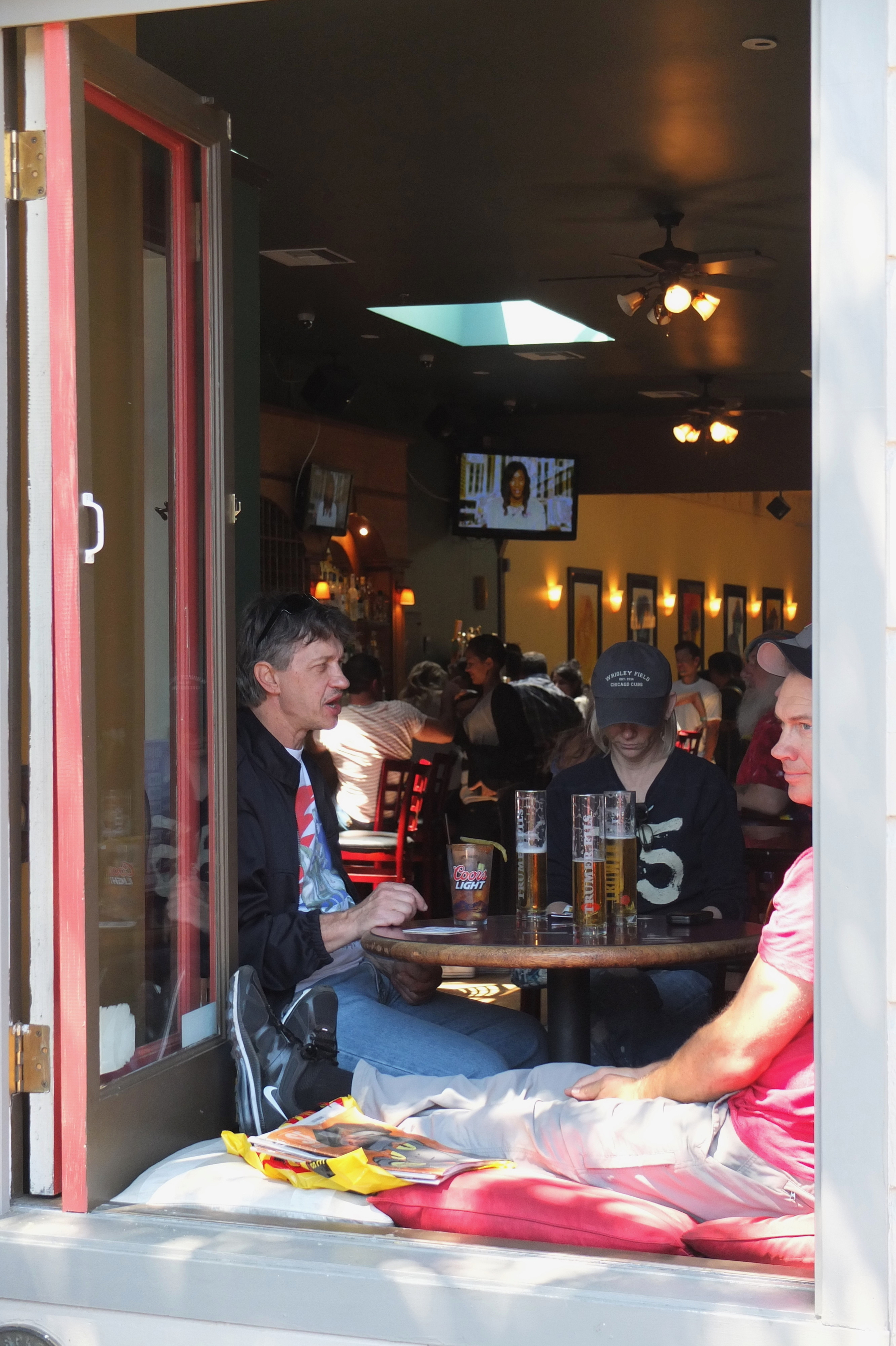
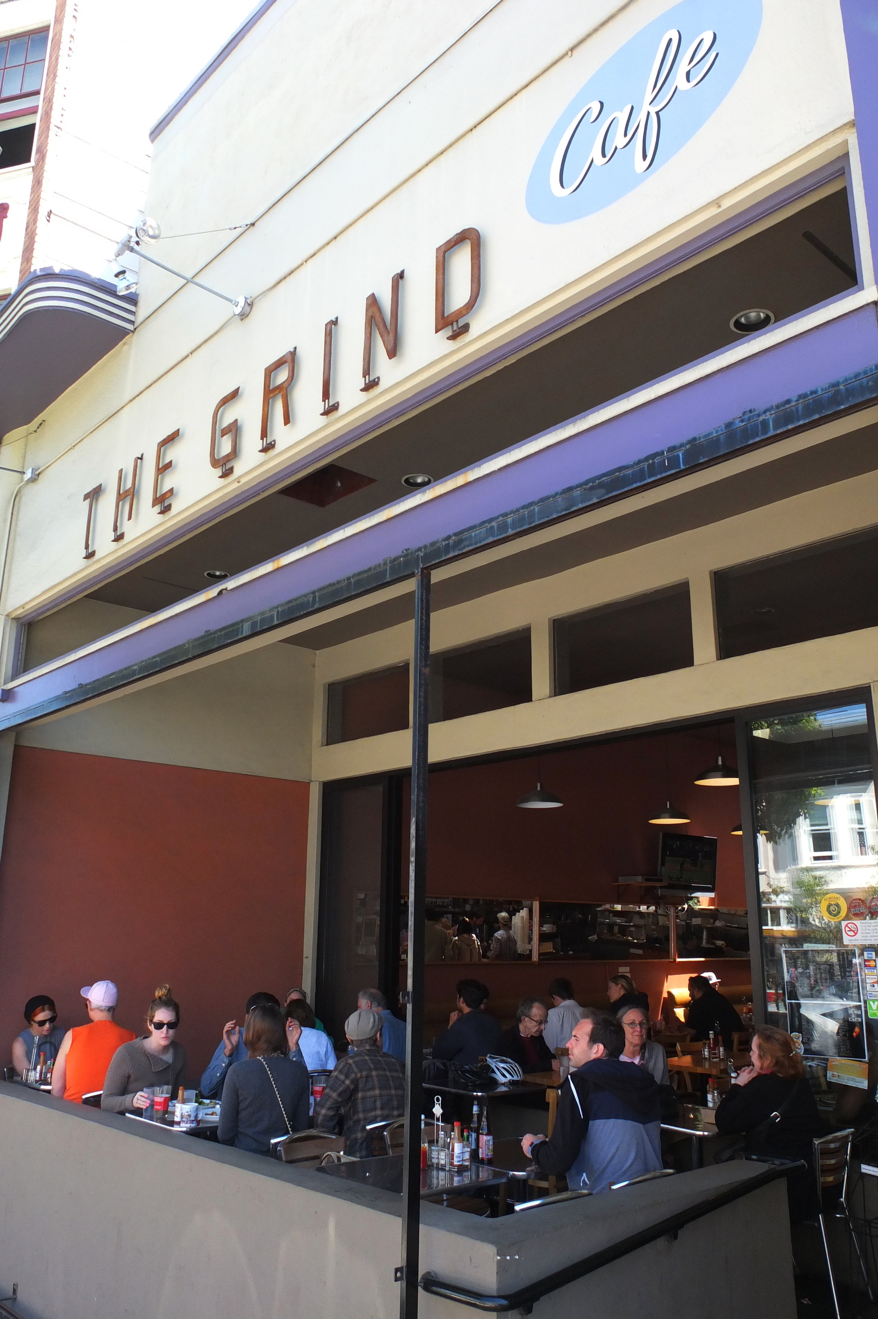
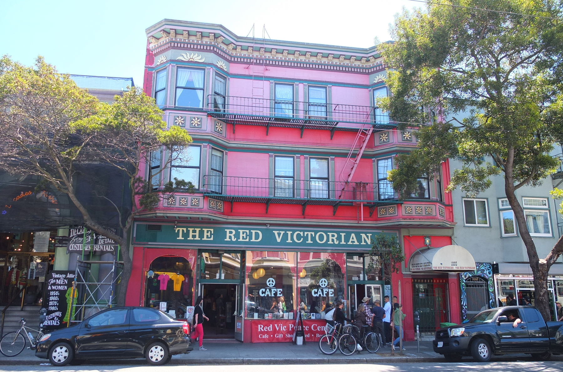
I also found myself drawn to the neighborhood’s bookstores, cafés, record shops, and vintage stores. These places may seem ordinary compared with the dramatic events of 1967, but perhaps that is exactly what makes them interesting. Counterculture is no longer something happening exclusively in underground clubs or communal houses. It has become part of the neighborhood’s commercial identity. You can buy a vintage Grateful Dead shirt, browse old vinyl records, read about the Summer of Love, and drink coffee within a few blocks of places where history actually happened.


There is an unavoidable irony in that transformation. A movement that once rejected consumerism has become part of the neighborhood’s tourism economy. The imagery of peace signs, psychedelic colors, flowers, and legendary rock bands is now sold on posters, clothing, souvenirs, and postcards. Yet I don’t think that necessarily makes the history meaningless. Places evolve, and Haight-Ashbury’s ability to absorb new generations may actually be part of its story. The neighborhood has always been about reinvention.
By the time the afternoon light began fading over the Victorian houses, I found myself thinking less about the clichés of the 1960s and more about the people who had actually lived through them. They were young people searching for something—sometimes political change, sometimes spiritual discovery, sometimes artistic freedom, sometimes simply a different way of living. Some succeeded in changing American culture. Others struggled. Some became famous. Many disappeared into ordinary lives. The mythology remembers the stars, but history was made by thousands of ordinary people who arrived with little more than curiosity and conviction.

Walking away from the intersection of Haight and Ashbury, I realized that the most interesting thing about the neighborhood isn’t that it once hosted the Summer of Love. It is that the questions raised there never completely disappeared. How should we live? How much should we challenge society? What does freedom actually mean? Can a community exist outside conventional ideas of money and status? And can idealism survive once the world starts selling it back to us?
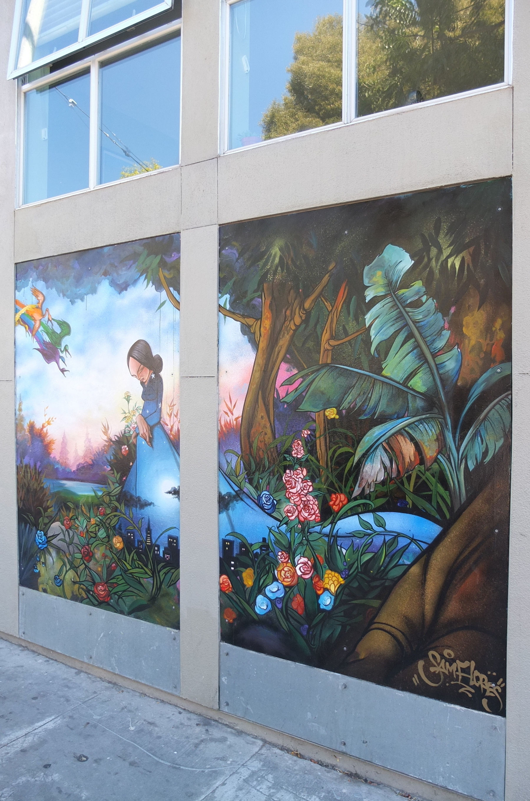

Haight-Ashbury doesn’t provide easy answers. Instead, it leaves fragments behind—in the music, the architecture, the murals, the cafés, the old photographs, the stories of the people who lived here, and the young travelers still wandering down Haight Street today. I arrived expecting to find a monument to the 1960s. Instead, I found a neighborhood still negotiating between its past and its future. And perhaps that is the most fitting legacy of all: Haight-Ashbury was never really about standing still. It was about questioning what came next.
#Photography #Photos #Photoblog #Blog #HaightAshbury #SanFrancisco #SummerOfLove #SanFranciscoHistory #HippieCulture #Counterculture #1960s #GratefulDead #JanisJoplin #JeffersonAirplane #JimiHendrix #TheDiggers #GoldenGatePark #HippieHill #BeatGeneration #PsychedelicRock #SanFranciscoTravel #CaliforniaTravel #TravelEssay #TravelPhotography
Dotonbori After Dark, Riding Above the Neon Heart of Osaka

There are cities that slowly reveal themselves, and then there is Osaka. It announces itself in color, sound, movement, and food. Nowhere was that more obvious to me than Dotonbori, where enormous neon signs competed for attention above the canal and the streets seemed to pulse with their own energy. Among all that visual chaos, the Dotonbori Ferris Wheel caught my attention. Rising above the surrounding buildings, it offered something the streets couldn’t: a chance to escape the crowds for a few minutes and see Osaka from above.


I had arrived expecting the Ferris wheel to be little more than a fun ride, but standing beside the Dotonbori River, I began to appreciate just how much history was beneath all that neon. The canal dates back to the early seventeenth century, when local figures including Nariyasu Dōton and members of the Yasui family began its construction in 1612. The project was completed in 1615, following the upheaval of the Siege of Osaka. What looks today like a simple urban waterway was therefore part of a much larger transformation of Osaka itself.


The canal quickly changed the character of the neighborhood. During the Edo period, Dotonbori developed into one of Osaka’s great entertainment districts, with theaters, teahouses, restaurants, and crowds of people arriving for an evening of entertainment. Kabuki and bunraku flourished here, and restaurants grew alongside the theaters to feed the audiences. In a way, the Dotonbori I was seeing wasn’t a modern invention at all. The enormous signs, restaurants, crowds, and constant entertainment were simply a twenty-first-century version of a tradition that had been evolving for centuries.


Eventually, I climbed aboard the Ferris wheel and watched the streets begin to fall away beneath me. As the cabin rose, Dotonbori’s famous neon signs became part of a larger picture. The canal reflected fragments of red, blue, green, and gold, while the crowds below moved along the streets like streams of light. From ground level, the district can feel almost overwhelming. From above, its energy suddenly seemed more organized, like a carefully choreographed performance.


That contrast made me think about Osaka’s reputation as a commercial city. Long before the modern skyline and shopping arcades, Osaka was developing as a major center of trade and transportation. Its waterways were crucial to moving people and goods, and the city’s merchant culture helped create the independent, practical character for which Osaka became known. Even the construction of Dotonbori itself is often presented as an example of local initiative—the canal was developed by prominent local residents rather than simply being imposed as a government project.


Higher still, I could see beyond Dotonbori toward the wider city. Somewhere in the distance stood Osaka Castle, a reminder of a very different chapter in Osaka’s history. Closer by, the dense streets of Namba and Shinsaibashi stretched in every direction. Below me, meanwhile, the giant advertisements that make Dotonbori so recognizable looked almost miniature. The famous Glico running man, restaurant signs, and brightly illuminated facades had become pieces of a much larger urban landscape.


What fascinated me most was how naturally the old and new coexist here. Dotonbori’s history began with a canal, but today the water reflects enormous LED screens. The neighborhood once attracted people to kabuki and puppet theaters; now they arrive for takoyaki, okonomiyaki, ramen, shopping, nightlife, and photographs beneath the neon. The entertainment has changed, but the fundamental idea hasn’t. Dotonbori still exists to make people stop, look, eat, laugh, and stay a little longer. Japan’s national tourism organisation describes the district and neighbouring Shinsaibashi as one of Osaka’s defining areas for shopping, food, and entertainment.


As darkness settled over Osaka, the Ferris wheel became even more atmospheric. From my cabin, I could see the city illuminated beneath me while the Dotonbori River continued its slow journey through the middle of it all. The wheel itself suddenly seemed less important than the perspective it offered. For a few minutes, I wasn’t caught in the middle of Dotonbori’s famous chaos. I was watching it from a distance, trying to understand how centuries of commerce, theater, food, and urban life had produced the remarkable scene below.


Then the cabin began its descent, bringing me back toward the noise. Within minutes I was once again among the crowds, surrounded by restaurant signs and the smell of food drifting through the streets. I walked along the canal and realized that the Ferris wheel had given me more than a photograph or a panoramic view. It had given me a different way of seeing Dotonbori—a place where a canal built more than four centuries ago still forms the backbone of one of Osaka’s most energetic neighborhoods.


And perhaps that is what I loved most about Dotonbori. Beneath the neon, the giant advertisements, the crowded restaurants, and the unmistakable modern energy is a much older Osaka. The canal is still here. The crowds are still here. Entertainment is still here. People are still gathering beside the water after centuries of doing exactly that. As I walked away, Osaka felt less like a city that had abandoned its past and more like one that had simply learned how to illuminate it.
#Photography #Photos #Photoblog #Blog #Dotonbori #FerrisWheel #Osaka #OsakaJapan #JapanTravel #DotonboriRiver #Namba #Shinsaibashi #OsakaHistory #EdoPeriod #JapaneseHistory #Kabuki #Bunraku #OsakaFood #OsakaNightlife #JapanPhotography #TravelEssay #TravelPhotography #Japan